Geospatial Data

Transform the real world into digital.

Over the years, the Mapvisor team has earned a reputation for being unbiased consultants who are able to find the right data to solve client problems and develop solutions for specific project needs. Our highly skilled staff of photogrammetrists, programmers, data scientists, and image processing experts draw on experience complemented by access to a variety of data sources from top vendors around the world.

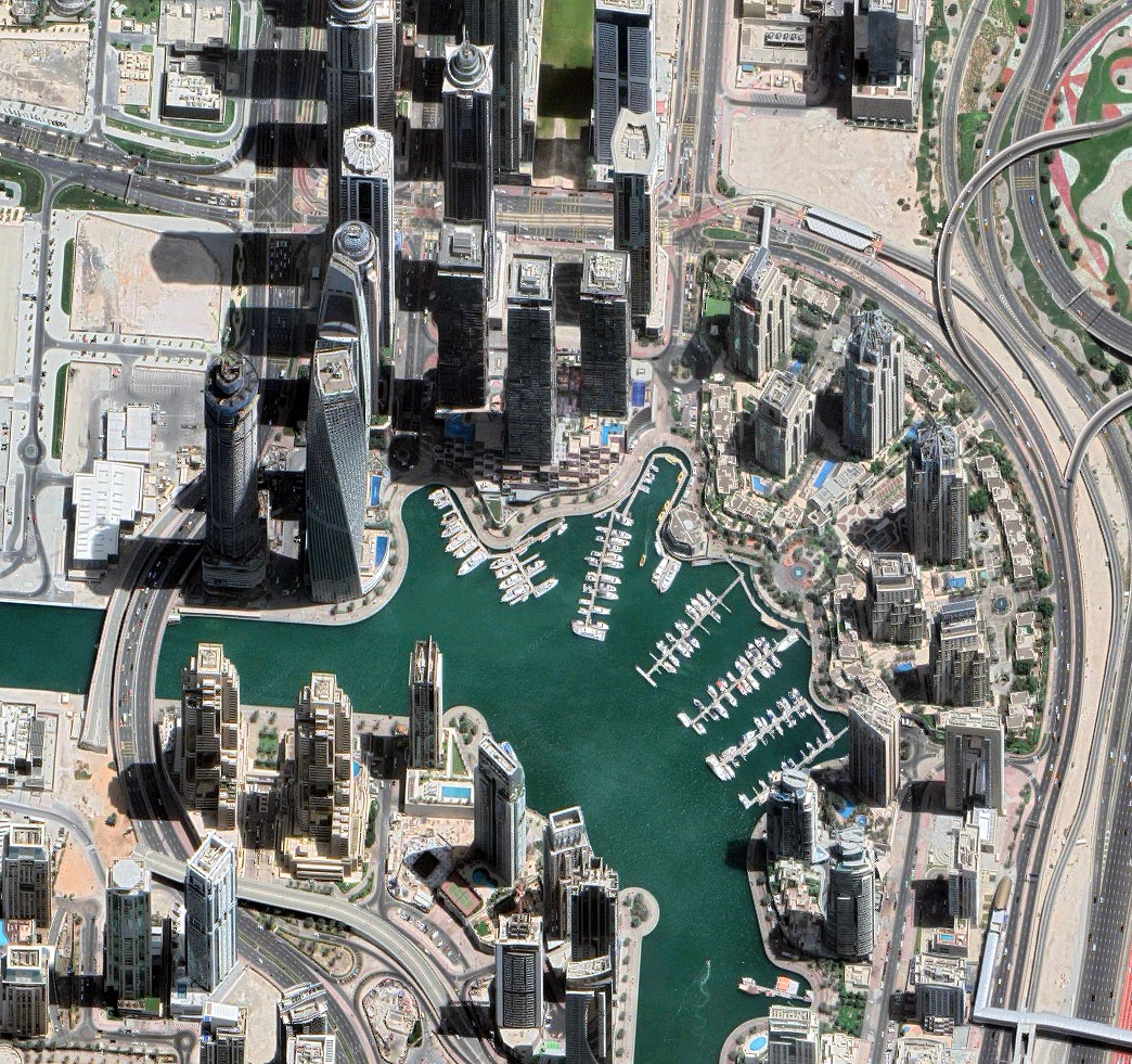
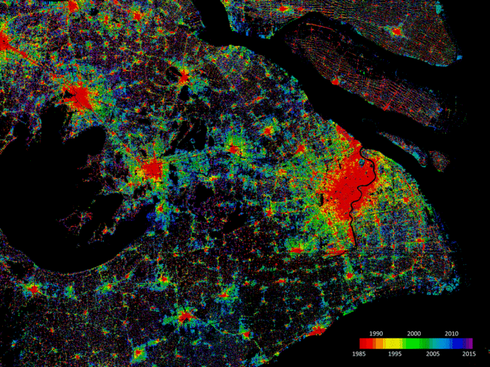
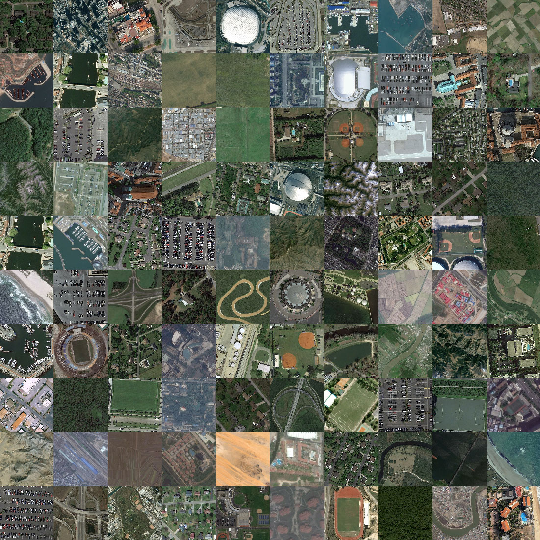
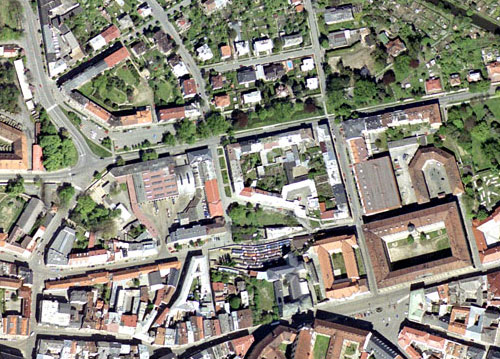
We provide access to imagery from the world’s most advanced high-resolution satellite, aerial and UAV sensor platforms. Depending on customer requirements, we can offer spatial resolutions from 0.5 cm/pixel to 25 m/pixel, multi-band processing, detailed datasets, guaranteed quality and accuracy.

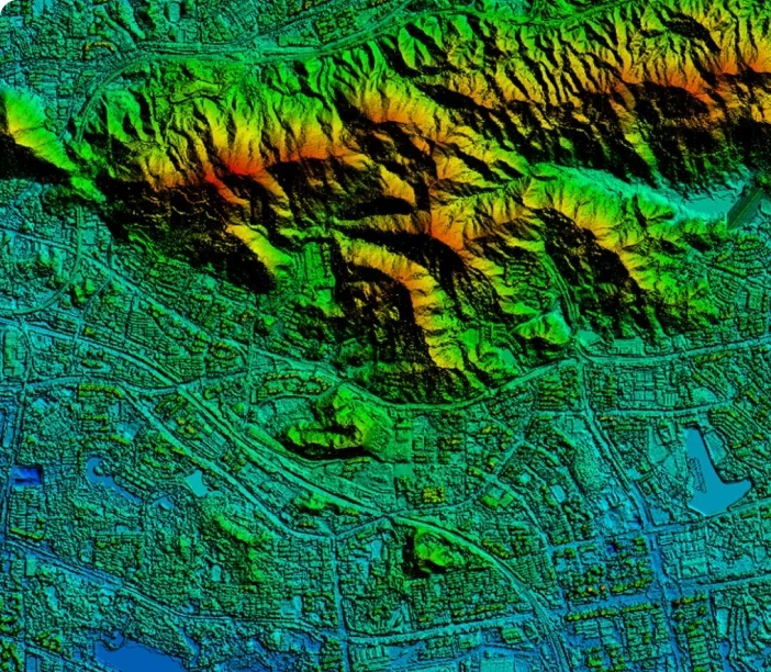
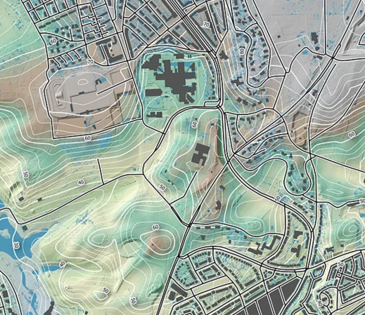
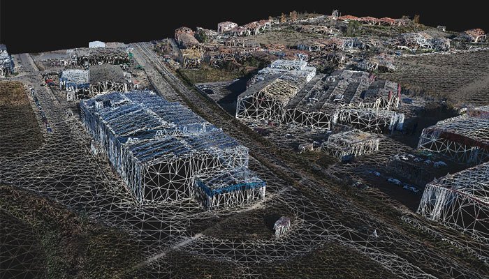
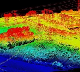
Mapvisor can also provide global, high-resolution DEM /DTM models with survey accuracy and capture GPS control points for almost any area of interest. Global human geospatial data for use in GIS is another area where Mapvisor can support its customers.

Contact us

Get in touch!

If you’re unsure what type of data or solution you need for your project, the Mapvisor team can work with you to define the requirements and find the best solution for your needs.

Geospatial Services

Transform data into meaningful, contextual information.

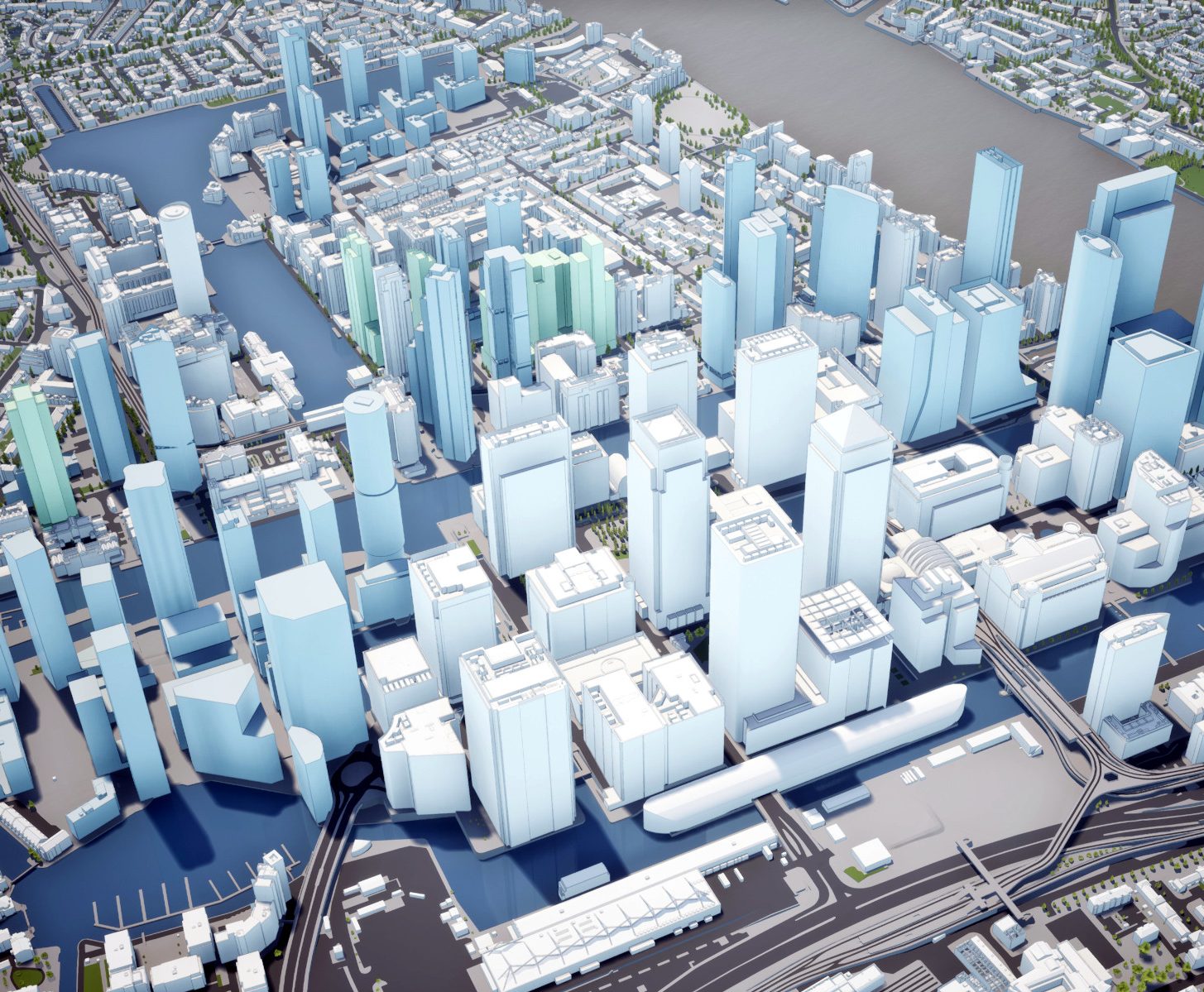
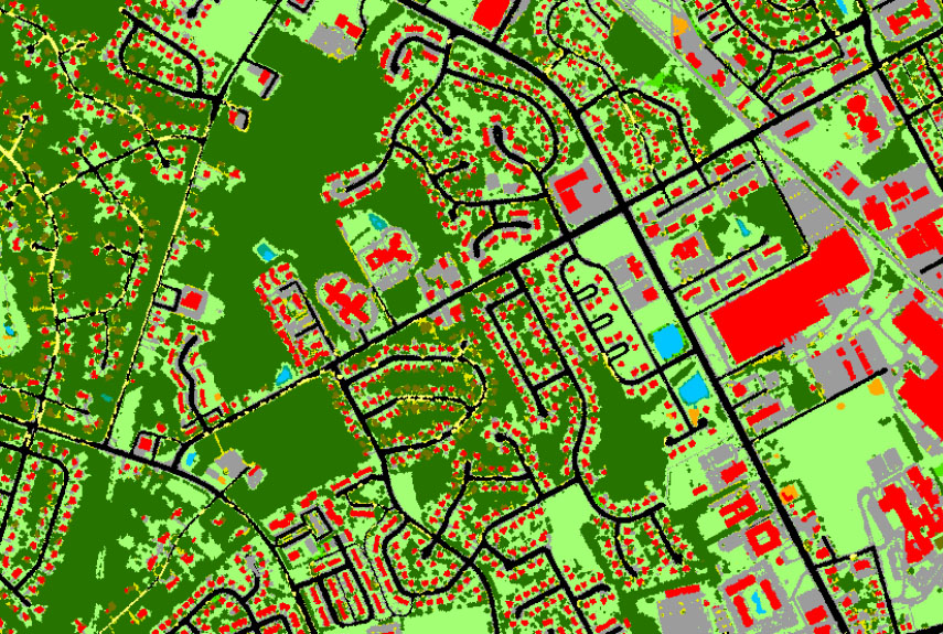
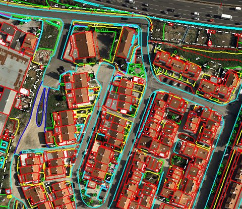
Mapvisor offers a wide range of high quality, professional and customised satellite, aerial, elevation and vector data mapping services, ranging from data acquisition to data processing and data analysis.

Contact us

Get in touch!

If you’re unsure what type of data or solution you need for your project, the Mapvisor team can work with you to define the requirements and find the best solution for your needs.

Geospatial Solutions

Easy to access satellite imagery, geospatial analytics and industry-specific services.

Mapvisor has partnered with the world’s leading providers of satellite imagery, geospatial analytics and technology to provide subscription-based access to our customers. This provides significant value, cost reductions, and resource minimization by paying only for what is consumed at a fraction of the cost of purchasing the same data or creating a similar industry solution.

Mapvisor provides instant access to the following platform:

Imagery Subscription Platforms

Access to hundreds of petabytes of aerial and satellite imagery from major geospatial data providers. An ever-expanding network of imagery satellites provides instant access to 50 cm (or better) resolution global coverage, with millions of square kilometers of new imagery added daily.

Geospatial Analytics Platforms

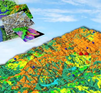
Access to artificial intelligence (AI), predictive analytics and location intelligence platforms that combine satellite imagery and analytics to make sense of complex global geospatial data. Mapviser customers gain critical insights and timely analytics that improve near real-time decision making.

Map API's Platforms

Access to the best map API cloud platforms in the world. Convenient subscription options with managed billing and direct local support enable easy-to-use API access, OGC streaming services, web interfaces with customized workflow management, mobile apps and GIS integrations.

Get in touch!

If you’re unsure what type of data or solution you need for your project, the Mapvisor team can work with you to define the requirements and find the best solution for your needs.

GIS Applications

Streamline your day-to-day operations and increase efficiency.

Mapvisor develops customized GIS applications that help clients be better informed, manage their assets wisely, visualize change, predict future trends, be more resilient, and prioritize security.

Mobile GIS applications are invaluable for capturing, storing, editing, analyzing and displaying geospatial data and information. They enable customers to empower their field teams to reduce errors, increase productivity and proactively make informed decisions. Our services include:

  • Application development – desktop, web and mobile.
  • Implementation of enterprise geographic information systems.
  • Needs analysis and business process reengineering.
  • Desktop, web and mobile mapping 3D visualization and simulations.
  • GIS data creation and analysis.
  • Database design and maintenance.
  • Training and technical support.
Contact us